
Ransdorp
A thousand years ago there were already people living in this low lying Waterland near the Zuyder Zee. Because of regular flooding a long dike was made in the 13th century around the whole Waterland area to protect the fields and villages.
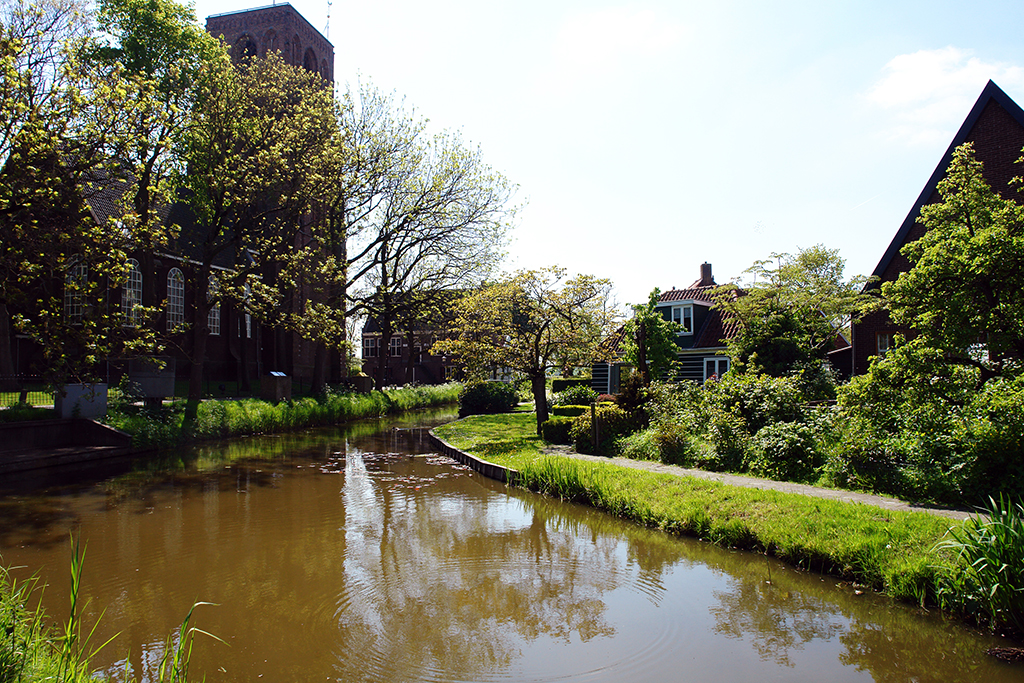
Early 16th century the village of Ransdorp started the construction of its characteristic square church tower which remained without steeple because of lack of money.

On this recent map one can see part of Waterland with its many brooks and waterways (and the villages Ransdorp and Durgerdam), just next to the urban outskirts. Keep it like that Amsterdam! Don’t let Waterland be flooded by the extension of the city!

Photo of the week: Ransdorp, Amsterdam-Noord, Netherlands 2017

Leave a comment