
Holysloot
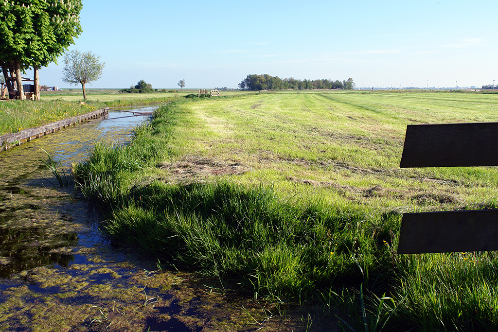
A one-street, dead-end village in Waterland, at 2 km from Ransdorp. Now also protected and lying within the municipal limits of Amsterdam.
With a history going back more than 700 years it already figures under the name of Hoolesloot on this historical map of Waterland from the year 1288.
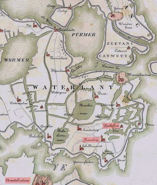
Photo of the week: Holysloot, Amsterdam-Noord, Netherlands 2017

Leave a comment